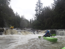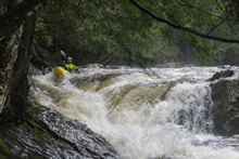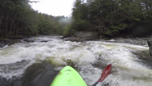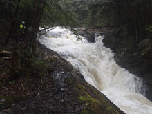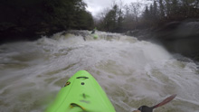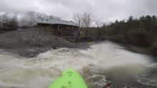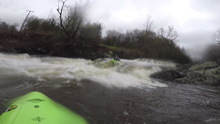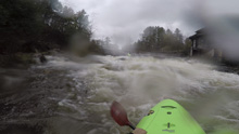
Printer Friendly Gihon River (Upper and Lower)

Gihon River (Upper and Lower)


Stretch: Whitcomb Island Rd to Beard Park
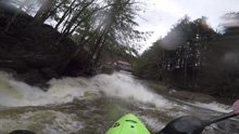
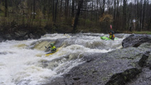
Difficulty: Class IV to IV+ (2xV)
Distance: 3.6 miles
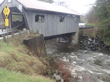
Flows: 1 to 4’ on take out bridge. General correlation to the Lamoille is 1,300 to 2,800 cfs. USGS Lamoille River in Johnston gauge
Gradient: 81 fpm average in the two gorges
Put-in: Upper: Whitcomb Island Rd, Lower: Rocky Rd
Take-out: Beard Park near Johnson VT
Shuttle: 3.8 miles, (10 minutes one-way)
Season: Spring off snowmelt, summer and fall off of rain
Written: © 2021
Featured in Video A Wet State #158

Mi 0.2: Mi 0.35: Mi 0.5: Mi 0.7-2.6: Mi 1.9: Mi 2.6: Mi 2.7: Mi 3.25: Mi 3.35: Mi 3.6:


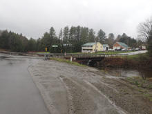
Take-out: From VT-10 in Johnson, head north on VT-100C for 0.4 miles. Turn left onto School Rd at the covered bridge and on the other side, park at Beard Park.


Put-in: Continue up VT-100C for 1.1 miles. If you just want to do the lower turn right at this point onto Rocky Rd and go to the covered bridge at the T in 0.4 miles to access the river. If you want to do the upper, continue on VT-100c for 1.2 additional miles to a right turn on Whitcomb Island Rd. Follow this for 1.4 miles, cross the river and park on the left.


HTML Comment Box is loading comments...

A Wet State - Home Page